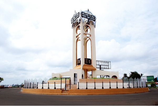
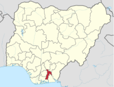
Abia
God's Own State
QUICK FACTS
*Population: 2,845,380 (2006 census) 3,727,347 (2016 forecast) - 28th of 37
*Percentage of Nigeria’s total population: 1.93%
*Population density: 590 - 4th of 37
*Landmass: 6319.6 sq km (2440 sq mi) - 35th of 37
*Internally Generated Revenue: N14,376,871,322.30 (2020)
**State capital: Umuahia
**Local Government Areas: 17
**Current Governor: Okezie Ikpeazu (People’s Democratic Party)
*National Bureau of Statistics
**Abia State Government
Further Description
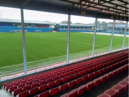
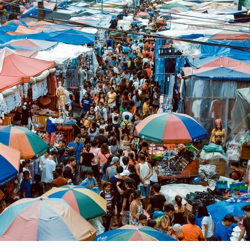
Abia State in Pictures
Visual Art Images